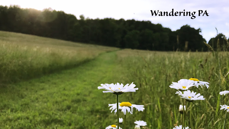

We've really enjoyed getting to know the Erie National Wildlife Refuge this past year and we couldn't have asked for a more picture perfect day the last time we went in late October.
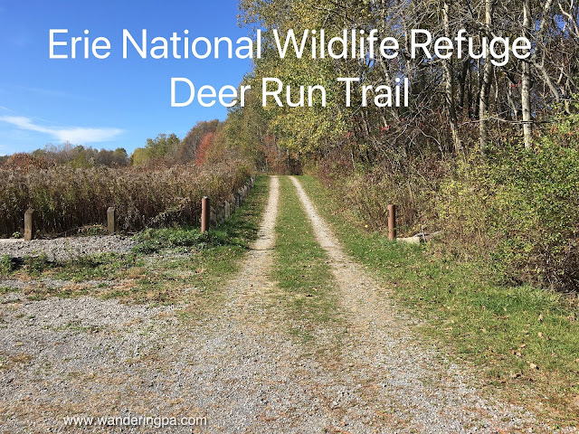
We hit 2 trails on this day, the second being the Deer Run trail. A 2.6 mile loop, the trail passes through fields, woods, and ponds and has minimal elevation changes. The large pond is a stopping point for migrating birds and every time we have visited, we've seen birders. The trail is well maintained and marked and, for all you winter outdoor recreation fans, it's doubles as a cross country skiing trail in the winter. We imagine it would be a beautiful trail covered in snow.
We hit 2 trails on this day, the second being the Deer Run trail. A 2.6 mile loop, the trail passes through fields, woods, and ponds and has minimal elevation changes. The large pond is a stopping point for migrating birds and every time we have visited, we've seen birders. The trail is well maintained and marked and, for all you winter outdoor recreation fans, it's doubles as a cross country skiing trail in the winter. We imagine it would be a beautiful trail covered in snow.
We started at the lot we parked at the lot off Richie Road and followed the trail out of the back of the lot. In a short distance we found ourselves in a deciduous woods along the shore of one of the larger ponds.

The trail emerged from the woods near the overlook for the pond. This spot provided a wide view of the pond, and is favored by bird watchers. Bring your binoculars for best viewing.


As we continued along the trail, we noted that the gravel trail is a spur that continued to a parking lot providing easy access to the overlook. The main trail continued through an overgrown field and back into some woods. It then emerged near a smaller pond before crossing over Boland Road.

After crossing Boland Road, the trail continued uphill through a field providing a more expansive view of the refuge.

The field re-entered a wooded area that is a mix of deciduous and hemlock trees.
 |
| Add caption |
The trail eventually descended from the hill to a pond just across the road from the parking lot where we started.
This is a nice trail that isn't too difficult and offers a little bit of everything scenery-wise. Definitely worth a visit.

From Cochranton follow 173 east for about five miles to Ritchie Road on left. The trail parking is about three miles on the left.
More Information:


